In Victoria, Australia, precision land shaping is more than just leveling. It is the foundation of sustainable water management. Recently, Jimmy Humphris, a prominent local contractor specializing in irrigation infrastructure, deployed the AL02 3D Land Leveling System alongside the FieldFusion Intelligent Data Platform to tackle a highly challenging 40-50-hectare project.
Operating a powerful John Deere 9R 540 tractor paired with a scraper, Jimmy's team collaborated with Ag Tech & Machine, led by James Rover, to bring professional-grade digital terrain design and cloud-based data synergy into the field.
Technical Edge: Seamless Integration via Original SCV Control
For heavy-duty platforms like the John Deere 9R 540, hardware and software integration is often a hurdle. However, the AL02 demonstrated exceptional compatibility by directly calling the tractor's original SCV, while FieldFusion acted as the digital brain behind the scenes.
By bypassing the need for external hydraulic valve blocks, the system achieved:
- Highly Responsive Control: direct electronic communication ensures the scraper reacts instantly to terrain changes based on live design data.
- Clean & Stable Setup: no intrusive hydraulic modifications mean higher reliability and a tidier cab environment.
- Precision Execution: accurate management of both lift and tilt functions, even when handling the massive loads of a 9R-series tractor.
Digital Workflow: From Desktop Design to Field Execution via FieldFusion
Scientific drainage requires complex planning. The Ag Tech & Machine technical team assisted in bridging the gap between professional engineering and field operation through a streamlined digital workflow powered by FieldFusion.

- Topography Design: drainage and variable rate surface designs were initially created in John Deere TerraCutta.
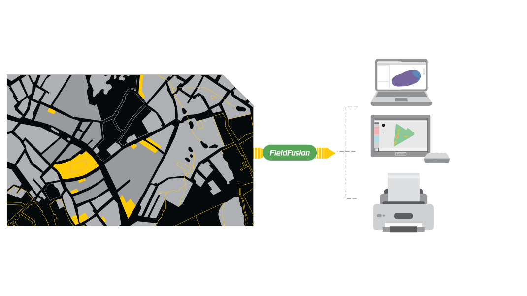
- Cloud-Based Fusion & Conversion: instead of relying on manual USB transfers, the designs were uploaded to FieldFusion. The platform seamlessly processed the DXF files and converted them into the AL02-compatible AGD format.
- Direct Over-the-Air Import: the AGD files were dispatched directly from the FieldFusion cloud to the AL02 control terminal, eliminating manual field measurement, marking, and tedious drive-time file transfers.
"This model-driven approach ensures that the final landform is a 100% accurate reflection of the engineering design, which is critical for long-term water efficiency."
Voices from the Cab: "Intuitive, Intelligent, and Unmatched"
After the first day of high-intensity operation, Jimmy Humphris and his team shared several key takeaways:
- Zero-Training Interface: the operators were particularly impressed by the AL02's UI and its deep integration with FieldFusion. Its intuitive logic allowed them to visualize the design maps and start working with precision almost immediately.
- Advanced Slope Fitting: other software often requires manual field zoning to handle complex dual-slope designs. The AL02 fits the slope automatically and controls blade tilt natively, saving meaningful setup time.
- Real-Time Progress Tracking: through FieldFusion, the management team could monitor the leveling progress and earthwork volume changes remotely, ensuring the project stayed on schedule without constant field visits.
About AL02 & FieldFusion: Level Every Inch, Track Every Pass
The AL02 is a next-generation 3D land leveling system designed for professional earthwork and terrain optimization. When supercharged by the FieldFusion ecosystem, it helps contractors achieve unprecedented efficiency.
Native Lift & Tilt Control
Directly manages scraper motion according to the terrain model and real-time machine position.
Cloud File Dispatch
Moves design data from desktop planning to the AL02 terminal without USB handoffs.
Remote Progress Visibility
Tracks leveling progress and earthwork changes so managers can stay aligned from anywhere.
Conclusion
This deployment demonstrates the immense potential of the AL02 and FieldFusion synergy in professional landforming and water management applications. Whether it is handling high-power tractor systems like the John Deere 9R 540 or managing complex multi-machine data fleets, this solution brings model-driven precision directly to the soil.


Ready to elevate your landforming game? Contact the FieldFusion team to discover how AL02 and FieldFusion enable seamless machine integration, intelligent data management, and stronger field performance.